examples of our drone services

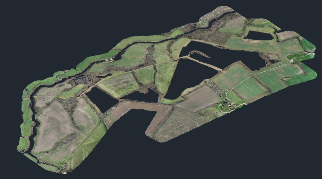
land mapping
Drones have revolutionized the process of creating 3D maps of land, providing a faster, more accurate, and cost-effective solution compared to traditional surveying methods. By using advanced drone technology, it is now possible to capture high-resolution images of a site from multiple angles and altitudes, which are then stitched together using specialized software to create a detailed and accurate 3D map of the land.
do you want a video like this?
before and after progress checks
Additionally, 3D mapping can help reduce the need for site visits, as it allows for remote monitoring of a site’s progress and changes over time. This not only improves efficiency and reduces costs, but it also increases safety, as it reduces the need for workers to physically access potentially hazardous areas.

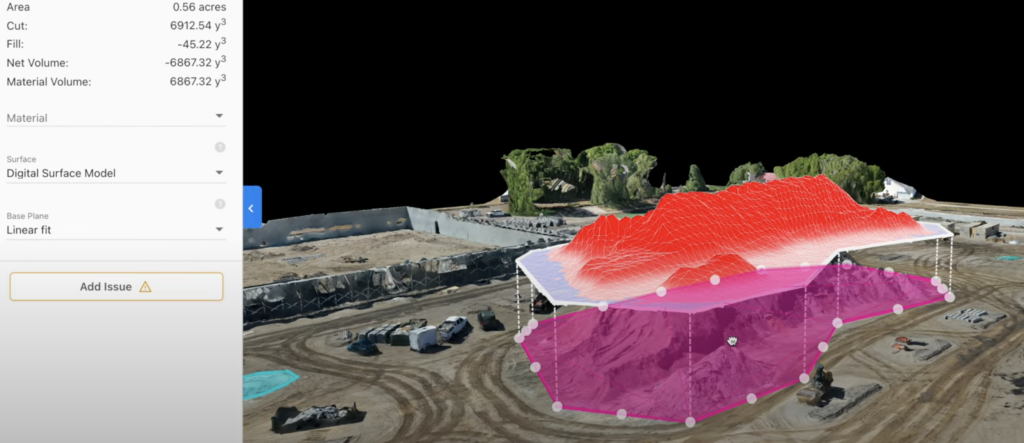
need to know the exact amount of the material or earth that needs moving?
volume mapping track the progress of earthmoving at any site if you need to know how much material you have on a site or how much mass in volume you need to remove from a location / site we can provide exact digital scaled data and models
Looking to sell your land and house? Forget traditional methods and embrace the future with our state-of-the-art drone technology!”
Our expert pilots ensure smooth, professional-quality footage that highlights your property’s true value. They capture the essence of your surroundings, offering buyers a realistic and immersive experience from the comfort of their own homes.
we provide an immersive, bird’s-eye view of your property like never before. Potential buyers will be captivated by the beauty and uniqueness of your land and house.”
